



Archival plans sometimes no longer correspond to the actual building, following decades of alterations, and discrepancies accumulate right up to the construction site. By then, it becomes costly to rectify them. Updating a building’s plans therefore requires a methodical survey of the existing structure, rather than simply making corrections during site visits.
Where do the discrepancies between plans and reality come from?
A partition wall moved during a tenancy fit-out, or a service duct added without updating the corresponding 2D DWG-format plan, is enough to create a lasting discrepancy between the document and the building. The design office is not always informed of the alteration, and the documentation remains unchanged.
This discrepancy is repeated with every subsequent intervention, and the layers of discrepancies accumulate over the years. Added to this are the original construction tolerances, which by definition allow for a discrepancy between the dimension shown on the drawing and the actual dimension, as well as the deformations or settlement accumulated over several decades of use.
In many cases, the available paper or DWG drawings remain the only existing basis. Their reliability has generally never been verified since they were drawn up.
The consequences of these discrepancies during the design and construction phases
Depending on the canton, the competent authority (municipal or cantonal) may require that a public consultation dossier be supplemented where the areas or layout indicated do not correspond to the existing conditions observed on site. Corrections made during the planning process delay the entire project timetable.
Coordination with the HVAC and electrical engineering firm is equally critical. Adding a duct or a service network requires precise knowledge of the space available within suspended ceilings or existing service ducts. An approximate plan risks conflicts arising from services being discovered too late.
When a discrepancy is identified during construction, reworking or a contract amendment often becomes the only solution. A reliable survey is required, carried out before the design work begins.
Laser scanning as a method for updating building plans
The principle remains the same from one project to the next. A laser scanner captures a point cloud of the existing structure – a scattering of millions of coordinates measured in space. This point cloud is then converted into plans or a 3D model, depending on the deliverable required by the client.

A survey of the load-bearing structure, prior to major alterations, requires a tighter tolerance for the final deliverable, set contractually on a case-by-case basis. This value depends on the scanning distance and the protocol for stitching the scans together. It distinguishes between the instrumental accuracy claimed by the scanner manufacturer and the tolerance actually guaranteed on the delivered plan. A general site survey allows for a wider margin of error, without this affecting its use during the preliminary design phase.
Deliverables that replace obsolete plans
The point cloud, delivered in E57 format following registration and cleaning of the scans, serves as a reference for quality control throughout the project. It documents the geometry measured on site, subject to the quality checks carried out during its assembly.
Based on this point cloud, a model in IFC format enables data exchange between specialist software programmes, even when the architect and the MEP engineer are not using the same software. Existing building plans in DWG format, however, remain a widely used exchange format for coordination between contractors.
The level of detail, or LOD (level of development), specifies the geometric and informational richness of the model in accordance with the BIMForum specification, an American standard based on the definitions of the AIA (American Institute of Architects). In Switzerland, the SIA withdrew technical specification SIA 2051 from its publications at the end of 2024 and now refers to the SN EN ISO 19650 series, which is based on the level of information need (LOIN, in accordance with standard EN 17412-1).
A general site survey, where only the main volumes and site layout are relevant, is often sufficient at LOD 200, determined on a case-by-case basis with the client. A plan intended to serve as a basis for execution generally requires a LOD of 300 to 350, or even 400 for prefabricated elements; however, geometric tolerance and the information required remain separate requirements, to be specified in the terms of reference.
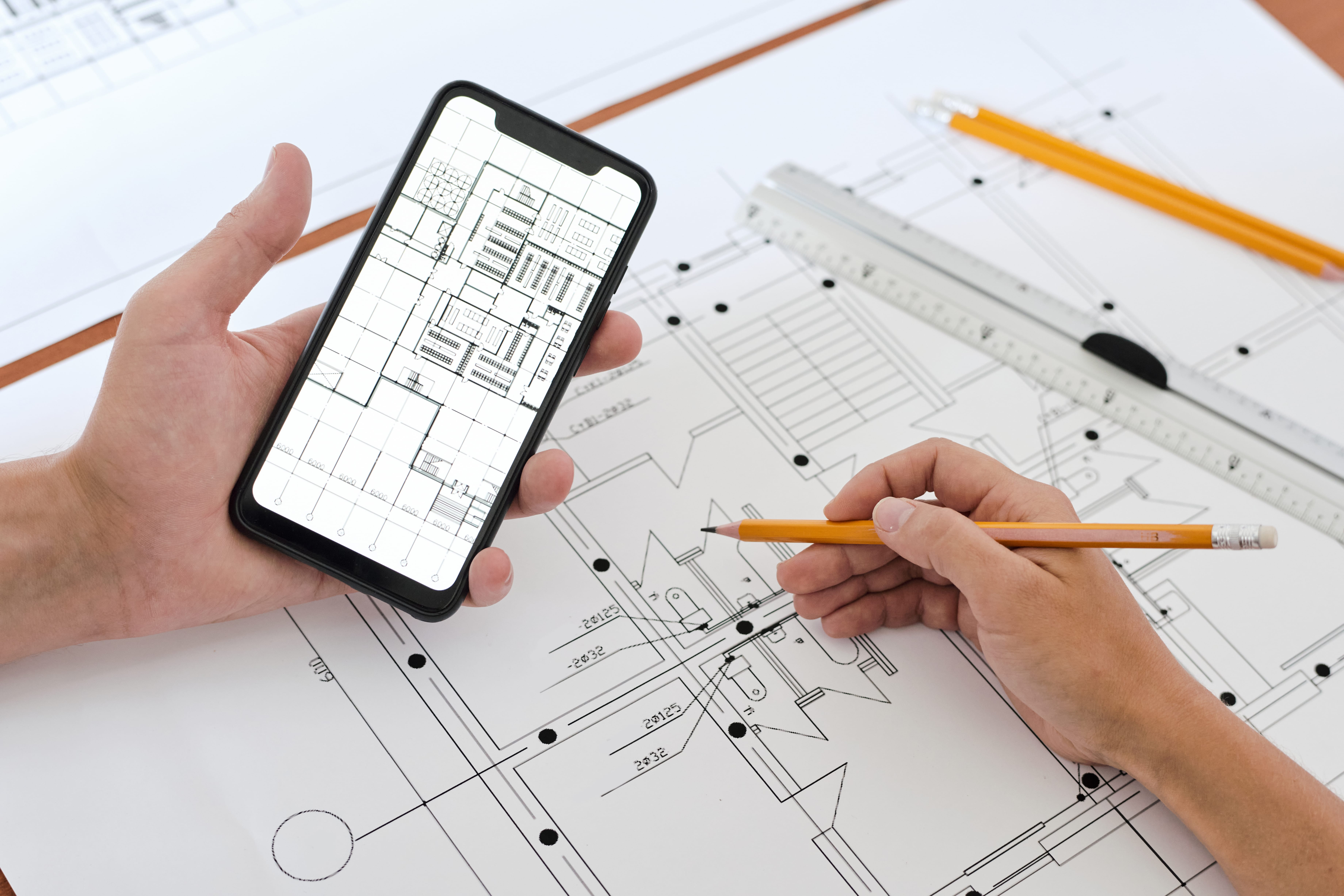
Adapting the level of detail and LOD to the actual scope of the project
A comprehensive survey at a high LOD is not always necessary. Replacing a screed or carrying out a one-off electrical compliance upgrade does not justify a complete modelling of the building envelope and structures.
A feasibility study limited to the available spaces often requires only a summary survey. It demands greater detail as soon as the structure, service networks or heritage constraints come into play. A planning application requires reliable dimensions for the elements covered by the application. A construction drawing, on the other hand, requires a level of detail close to what will actually be built.
A pre-sale survey therefore does not have the same requirements as a survey of the load-bearing structure prior to conversion. The former documents a general condition, whilst the latter determines the safety and technical feasibility of the forthcoming project.
How a reliable survey shapes the rest of the project
The client bases their budget on verified data rather than on archived plans. The building management team finds a lasting reference document, and the main contractor minimises unpleasant surprises between the design phase and the construction site.
Simply specifying, from the very first enquiry, the scope of the survey, the intended use of the deliverable and the format expected by the client is sufficient to ensure a survey tailored to the actual project.