

-
Digital Building Survey
-
3D BIM Models
-
Capture of HVAC installation / MEP Plans
-
As-built plans CAD – 2D , 3D Plans (DWG, Revit, ArchiCad)
We work in:
Geneva Vallais Vaud Neuchâtel
Fribourg Jura Zurich Bern

Our Deliverables
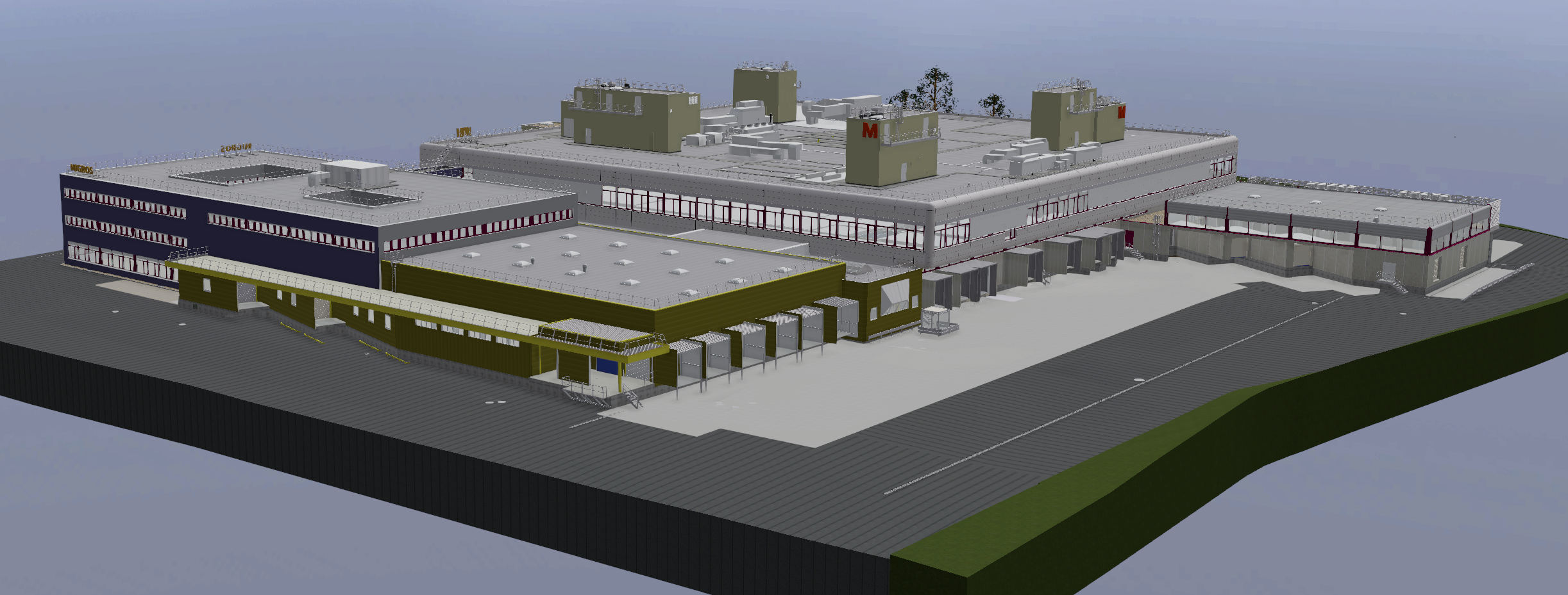
Scan to BIM / 3D Models
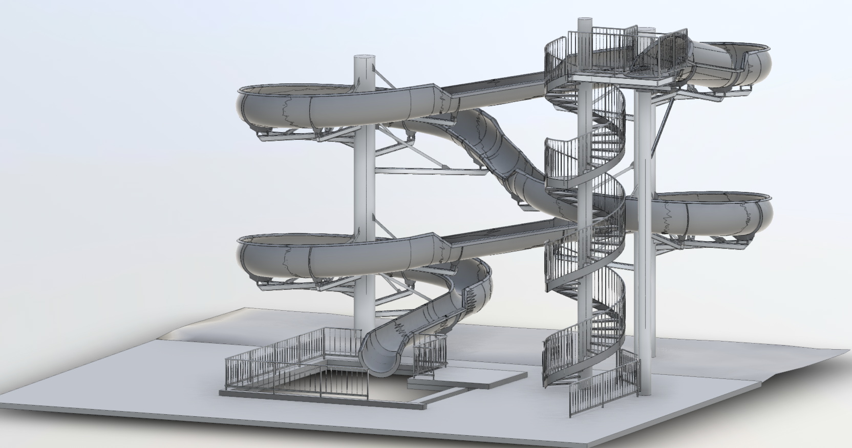
Scan to CAD , As-built 2D, 3D plans RVT, PLN, DGW
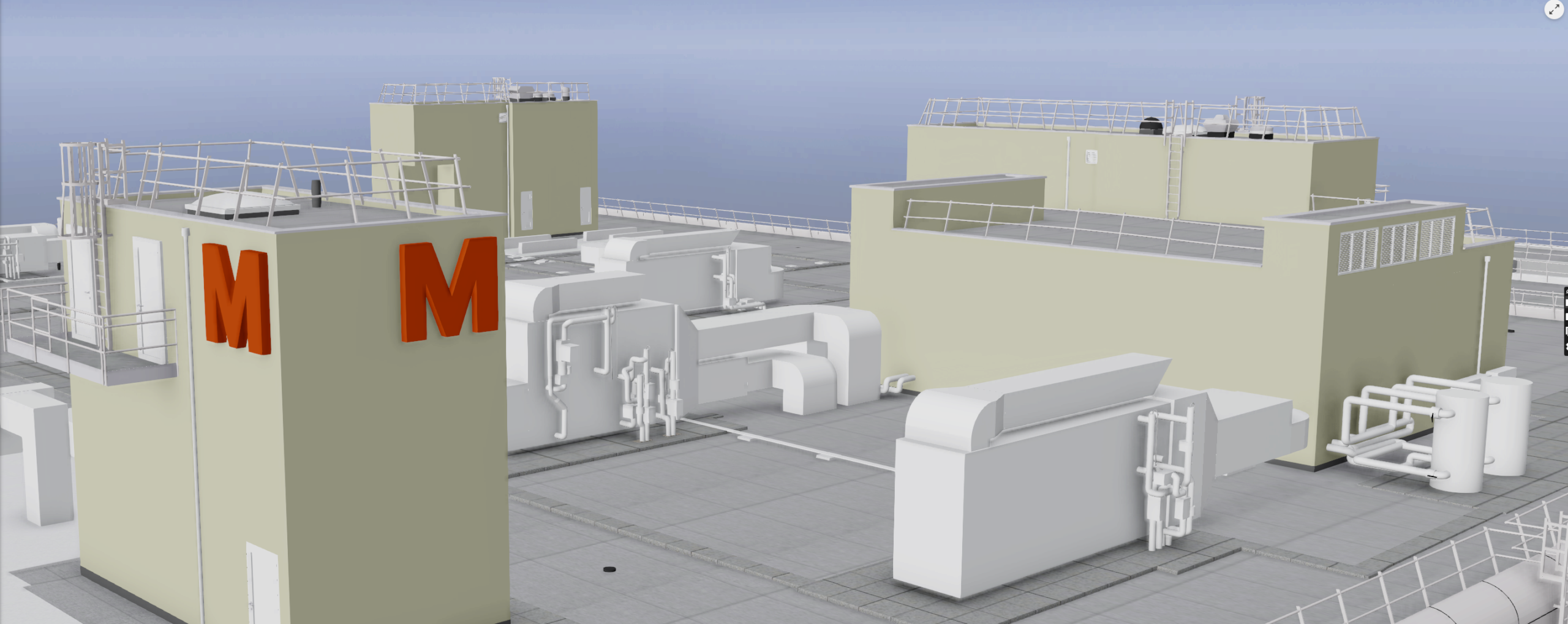
Capture of HVAC Installations / MEP Plans

Elevations, Orthophotos and impressive project videos
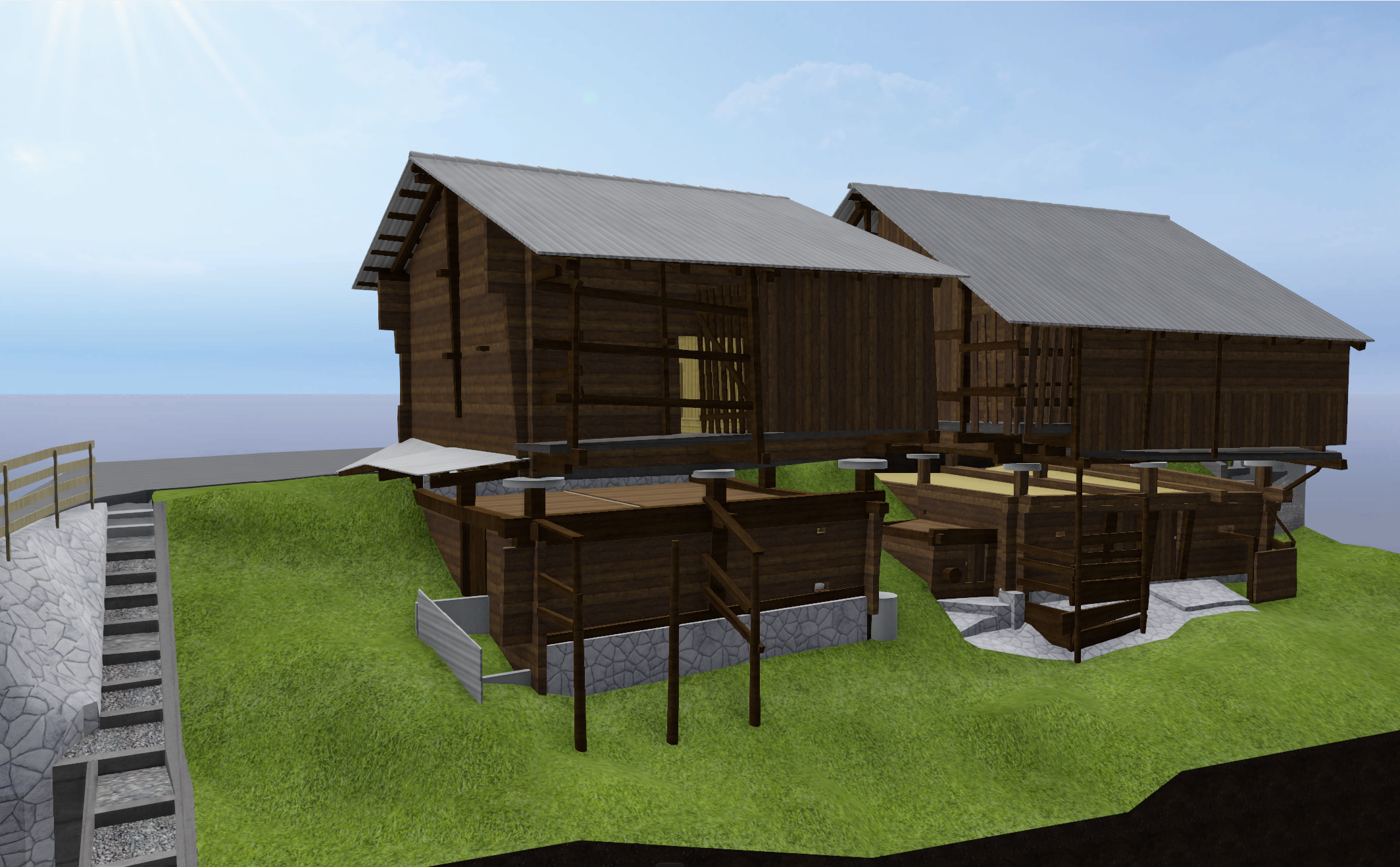
Certified timestamped Point Clouds, Mesh
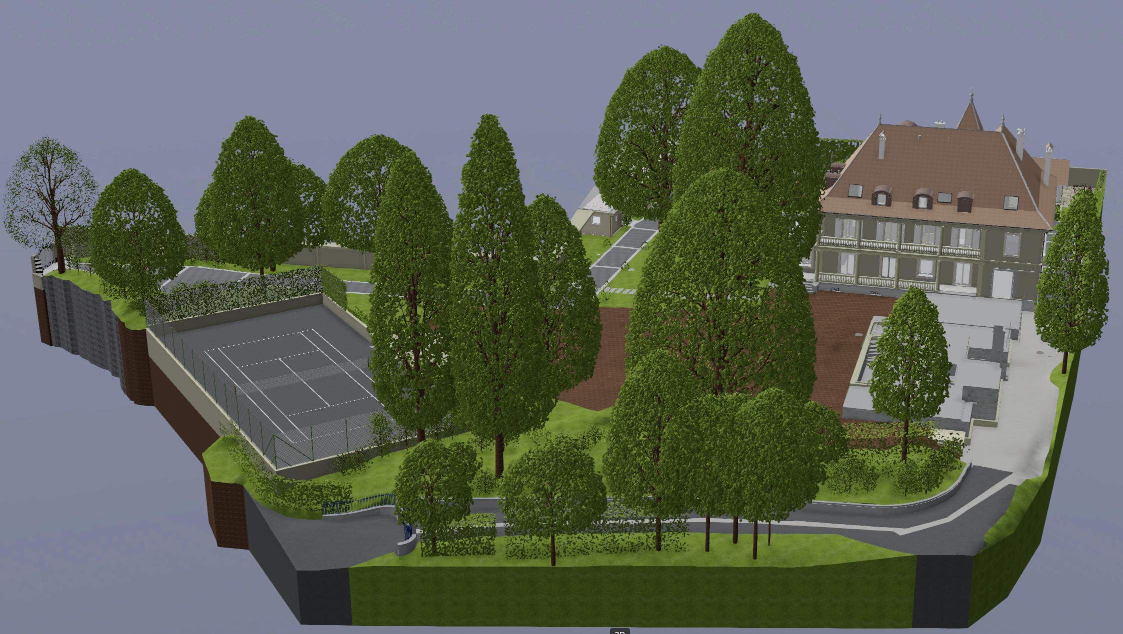
Detailed Topographic Maps, Site Capturing
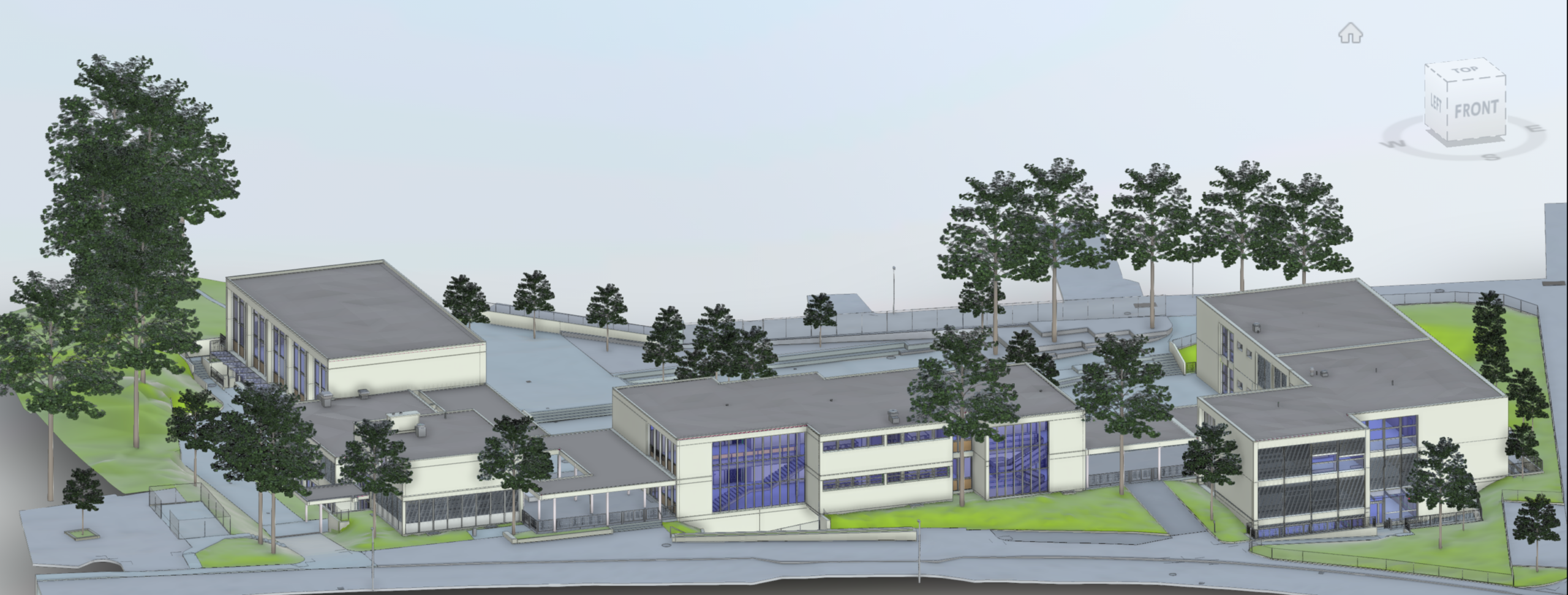
Real-time site data reporting to share
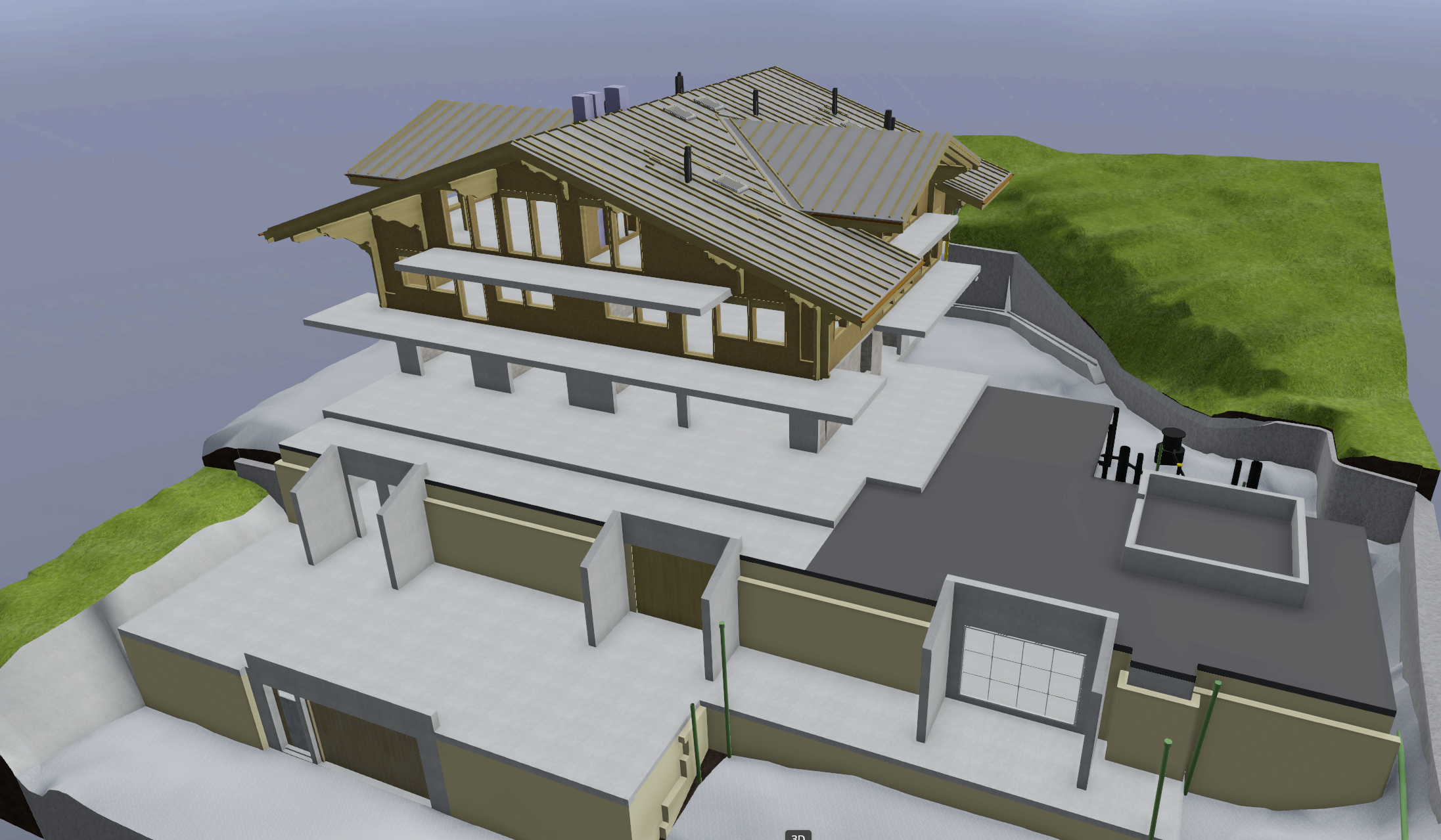
Measurement Capturing, Volumes calculations
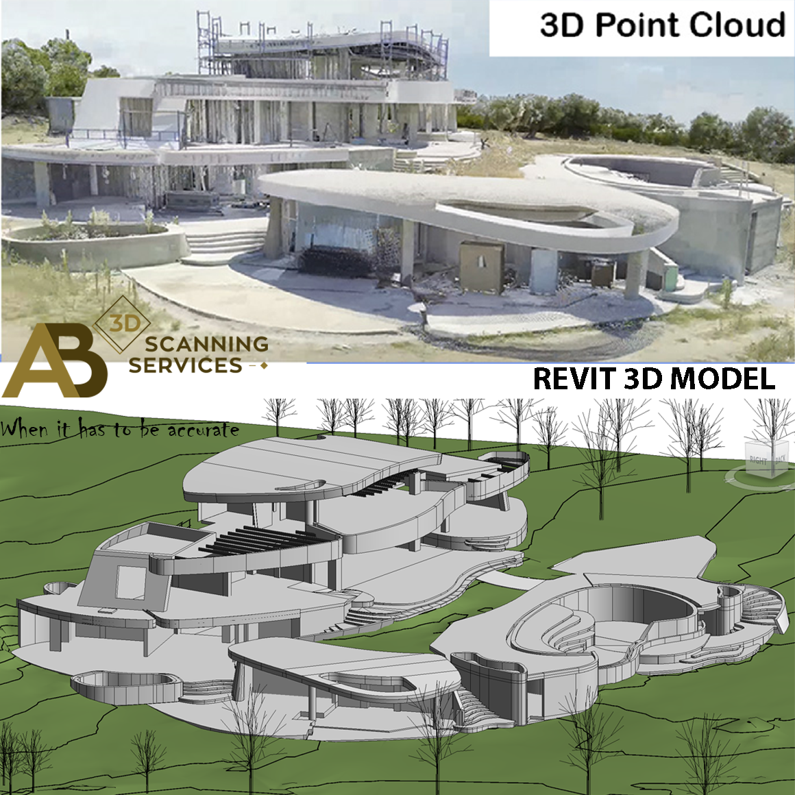
Detailed Point Clouds in LGXS, E57, RCP formats
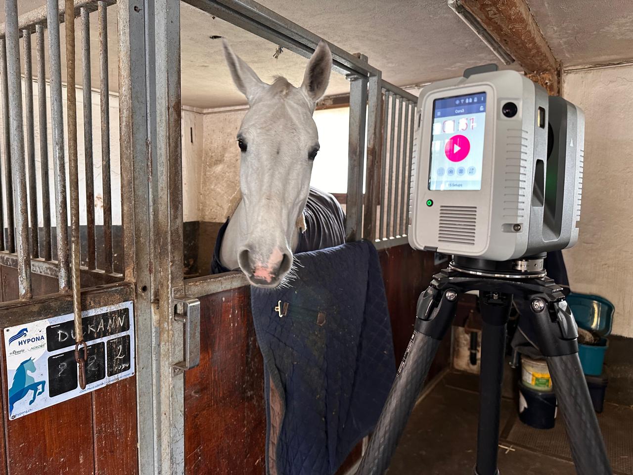
The device (RTC 360 from Leica in our case) using LIDAR technology, captures 2 million points per second at each setup, gradually creating a point cloud of billions of points. Every point practically has coordinates. At the same time, 360° photos are captured to provide color insights.
For a 1,000 m2 building for example, we might need around 200 setups and we expect a point cloud of 2.5 billion points.

Advanced software algorithms, combined with user expertise, transform the point clouds into a precise and well-cleaned 3D model, free of reflections and other unnecessary objects.
Subsequently, depending on the desired deliverables, further software is applied to create: CAD plans (DWG, ArchiCad and REVIT), 3D BIM models, ortho-images, Virtual Reality, visualization of buildings in real time, or even digital twins.
To find out more, check the following sites and video
Benefits of 3D Scanning / how it works Leica explains how 3D Scanning works LIDAR technology in a glance 6 Facts You Need to Know About 3D Reality Capture 3D Laser Scanning and Scan to BIM As Built Laser Scanning Workflow Digital Reality by Hexagon HxDr Lidar in AEC: overcoming obstacles and unlocking opportunitiesRecent Projects