



A listed façade, an old roof structure or a monument undergoing restoration without a reliable survey leaves the project vulnerable to repeated measurements and ill-informed decisions. 3D scanning of built heritage addresses this problem by providing a measurable baseline, established prior to any work and shareable amongst all project stakeholders.
What a 3D survey actually measures
Three concepts are often confused and should be distinguished before commissioning a survey. Accuracy describes the repeatability of measurements—the variation between several measurements of the same point taken under the same conditions. Accuracy, on the other hand, refers to the deviation between the measured position and the actual geometry of the structure, assessed by comparison with an independent control reference system, topographical points or registration targets.
For a static laser scanner such as the RTC 360, the manufacturer specifies a 3D point accuracy of 1.9 mm at 10 m and 2.9 mm at 20 m, combined with a distance accuracy of 1.0 mm + 10 ppm. This accuracy decreases with increasing distance from the station and with the angle of incidence of the beam on the target surface.
The point cloud consists of all the XYZ coordinates captured by the laser scanner, with each point representing a measured position on the surface of the object being surveyed.
The level of detail, often referred to as LOD (Level of Development), follows a US-originated scale (BIMForum), used by some design consultancies and distinct from the level of information requirement of SN EN ISO 7817-1 applied in Switzerland. It describes the degree of completion of a modelled element and its information content, ranging from LOD 200 for approximate volumes to LOD 350 for details of joints between elements, but it does not replace a requirement for geometric accuracy, which is specified separately.
Finally, completeness refers to the areas of the structure actually covered by the survey, regardless of their accuracy or level of modelling.
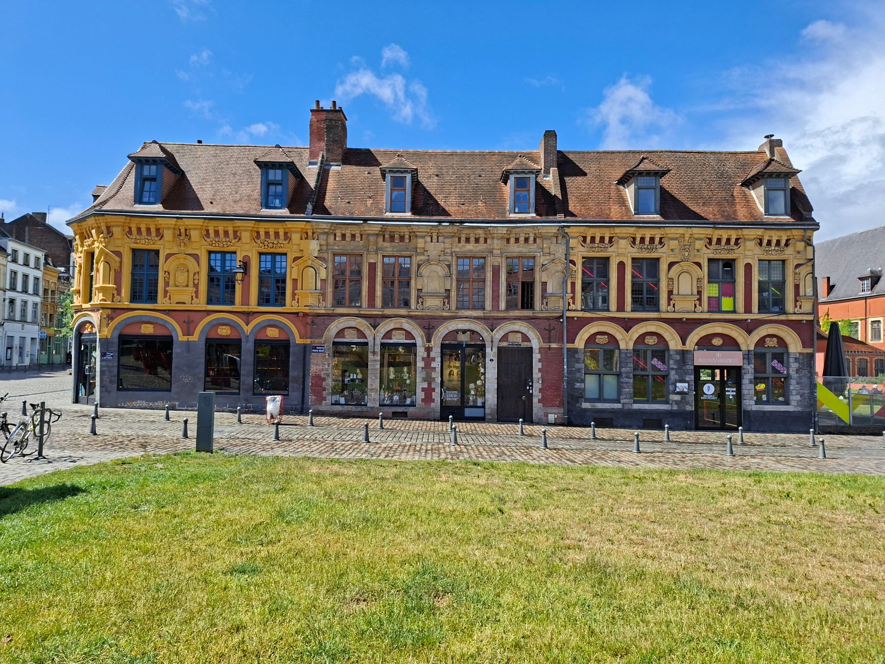
A listed façade illustrates this distinction. Its mouldings and cornices may require a high degree of accuracy to reproduce the exact profile of the ornamentation, whilst a roof not visible from public spaces may remain at a low LOD. Confusing these three aspects leads either to under-documenting a sensitive element or to paying for a level of detail that serves no purpose.
At what stage of the project does the need for a survey arise?
The need usually arises prior to a restoration study, when the exact geometry of the structure and its visible deformations remain poorly understood. The survey documents these geometric deformations; it does not replace the inspections or material analyses required for a comprehensive structural assessment.
It also arises prior to a public consultation, when the available plans are no longer sufficient for the required application, as documentation requirements vary by canton and municipality.
In the case of infrastructure, an old bridge, engineering structure or technical network triggers the same need prior to a major maintenance operation. Private owners, heritage architects, structural engineers, local authorities and infrastructure managers all face this issue, each with different requirements depending on the intended use of the deliverables.
What determines the suitability of the method is never the structure itself, but the preliminary scoping. Defining the intended uses, the required accuracy and the areas to be covered before commencing the survey directly determines its cost and value.
How the on-site survey is carried out
Laser surveying relies on a static scanner, positioned at successive stations around and inside the structure, or on a mobile scanner when the site layout requires continuous movement. Each station captures a point cloud via laser scanning. These point clouds are then aligned and merged to reconstruct the entire surveyed volume.
Alignment is based either on targets common to several stations or on the automatic recognition of overlapping surfaces. Georeferencing completes the process by linking the point cloud to a coordinate system – either cadastral or local – which allows the survey to be overlaid onto existing plans or onto data from subsequent survey campaigns.
Historic buildings impose specific constraints that influence the number and position of stations. Restricted access, the presence of scaffolding or fragile elements often necessitate multiple measurements to cover all surfaces without risk to the structure.
Furnishings, vegetation or the scaffolding itself can create obstructions – areas not captured by any scan. In such cases, either an additional measurement point must be added, or the gap must be noted in the final deliverable.
Certain surfaces present technical limitations for the laser scanner. Glass, highly reflective surfaces or matt black materials reflect the signal poorly and produce higher-than-normal measurement noise in these areas. On-site quality control, by comparing the overlap between neighbouring stations, allows these defects to be detected before leaving the site rather than during post-processing.
Usable deliverables following processing
Processing the survey data produces several deliverables, each with its own specific purpose. The raw point cloud is delivered in E57 format, an open and interoperable file format for software exchange, or in RCP format, a project-based indexed point cloud specific to the Autodesk ecosystem and optimised for Revit or ReCap.
From this point cloud, 2D plans, sections, elevations and floor plans are extracted in DWG format for coordination with engineering firms. The parametric BIM model, meanwhile, is built in Revit or Archicad, depending on the tool chosen by the design team.
The LOD of the BIM model is selected according to its end use. A feasibility study often requires only a LOD 200, whilst construction or coordination with the HVAC&E (heating, ventilation, plumbing and electrical) department requires a LOD of 300 to 350. A DWG file on its own does not serve the same purposes as a parametric BIM model, which is capable of carrying data associated with each element.
Accuracy, level of detail and comprehensiveness: how to align them with the project
A client or heritage architect would be well advised to clarify three points before requesting a quotation: the expected accuracy, the required LOD and the areas actually affected by the project.
Requiring a LOD 350 for the entire building when only one wing is the subject of the works is a common example of over-specification. The additional modelling costs then relate to areas that will not be used for any project decisions.
| Project purpose | Common scoping benchmarks |
|---|---|
| Feasibility study, assessment | LOD 200 |
| Preliminary design | LOD 200 to 300 |
| Construction works, technical coordination | LOD 300 to 350 |
| Reverse engineering of ornamental or listed elements | LOD 350 and above |
This correspondence is based on the practice of defining the scope of work for service providers, not on a Swiss standard. It is for guidance only and is to be discussed on a case-by-case basis depending on the complexity of the project. For an ornamental or listed feature, the LOD alone does not guarantee the required geometric accuracy; it must be accompanied by an explicit requirement for dimensional accuracy, defined separately with the service provider.
The issue of cost compared to traditional surveying
3D surveying involves a greater investment in processing than a conventional measured survey. The point cloud must be cleaned, registered and then modelled to the required LOD. A manual survey also requires on-site verification, cleaning up and drafting, but it does not involve registration between scan stations or parametric BIM modelling.
This cost difference does not make the method superior in absolute terms. Its suitability depends on the balance between the requested deliverables and the project’s actual needs, not on a universal advantage over traditional surveying.
A manual quantity survey is still sufficient for a simple room to be renovated, without complex geometry or coordination issues. Scanning becomes relevant as soon as the geometry becomes more complex, or when several trades need to work from the same set of measurements without increasing the number of site visits.

Validation and long-term retention of deliverables
Acceptance of deliverables requires verification of compliance with the specifications, accuracy measured against independent control points, the Level of Detail (LOD) achieved for each element, and the areas covered. This validation takes place before the contract is finalised, not after downstream use which might reveal any shortcomings.
The raw point cloud is stored in E57 format, an open format not tied to any particular software vendor, which ensures its readability beyond the lifespan of any given commercial software programme. For a heritage building, this archiving provides a record of the building’s condition on a given date, which can be reused in the event of damage, a future restoration programme or a change of design consultancy.
Reducing unforeseen issues and facilitating coordination between stakeholders
The point cloud and the BIM model are shared between the heritage architect, the structural engineer, the MEP consultancy and the main contractor. Each party imports the same model into their own calculation or drafting software, enabling them to identify clashes between a proposed services layout and the existing structure by overlaying the models before work begins.
This shared approach reduces the number of additional site visits for measurements on a structure that is often difficult to access. The extent of the benefit varies depending on the number of trades involved and the complexity of the building.
Key points to bear in mind before starting a survey
3D scanning of built heritage serves as a tool for decision-making and conservation, not merely for producing images.
Retaining the point cloud and the 3D model after the project is complete allows the same reference framework to be used for any subsequent work on the structure, without the need for a new full survey.